Description
Borjomi-Kharagauli Trek – Georgia’s Ultimate Forest & Alpine Wilderness Adventure
Borjomi-Kharagauli National Park, located in central Georgia, covers 85,083 hectares—more than 1% of the country’s total territory. Established in 1995, it is one of the largest protected areas in Europe and a key destination for multi-day trekking in the Caucasus region.
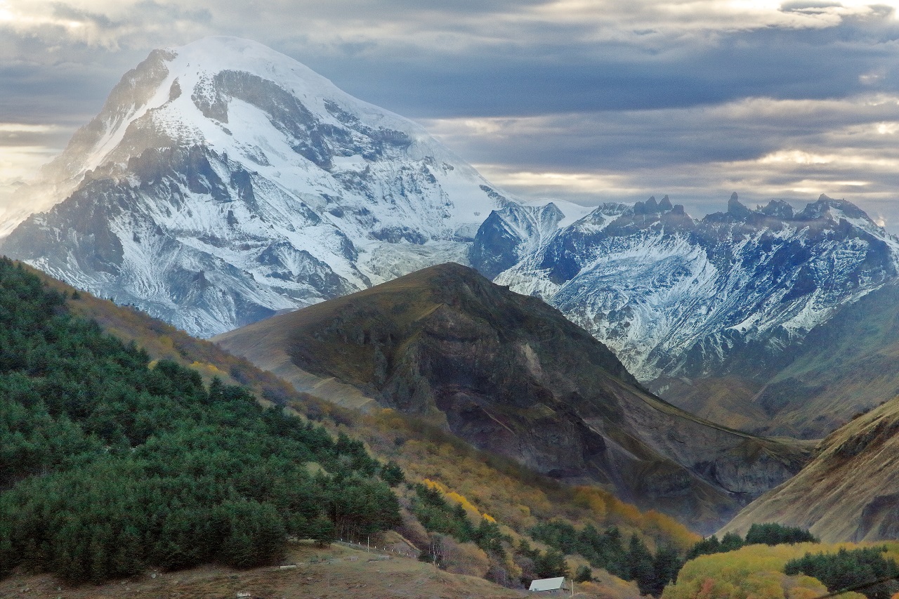
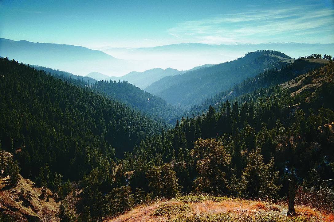
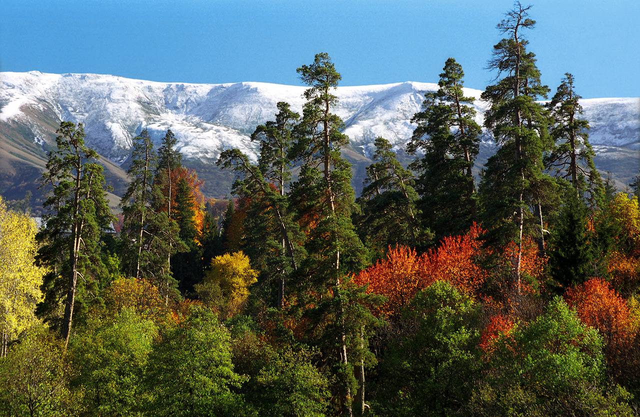
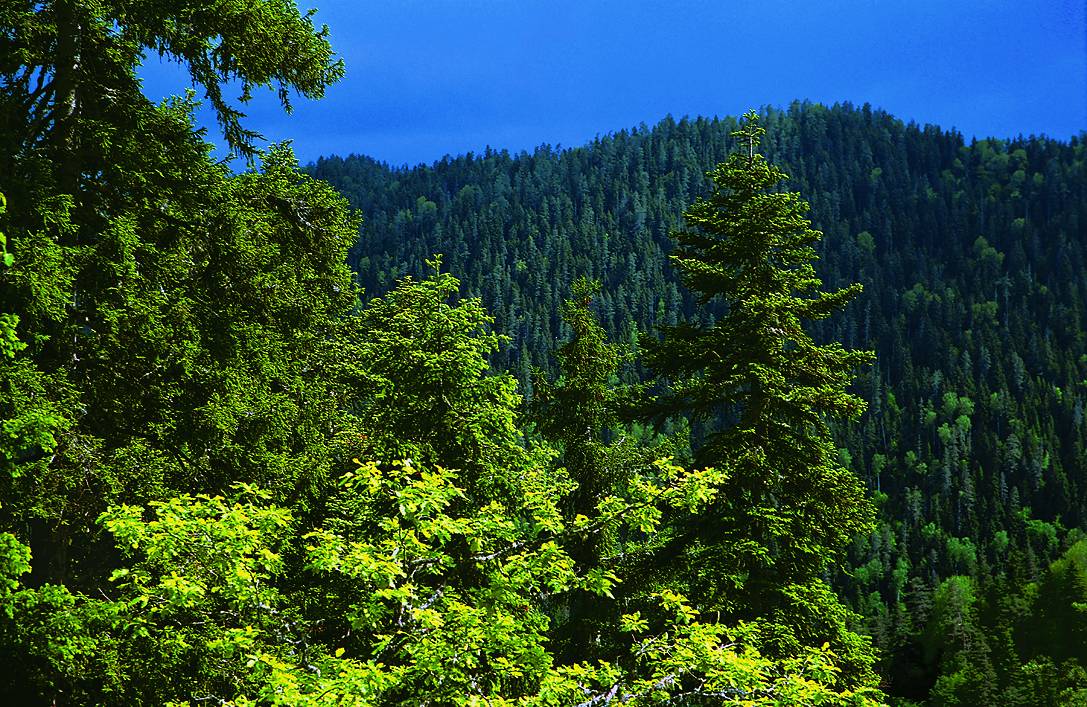
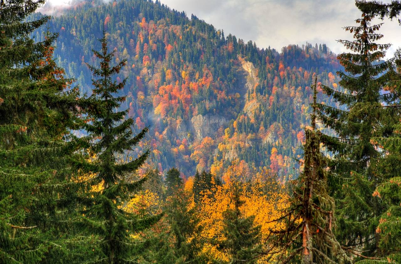
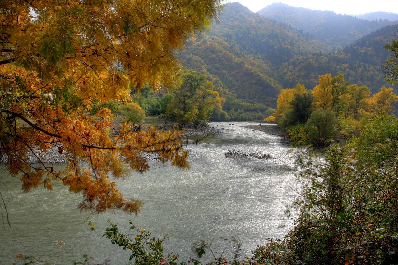
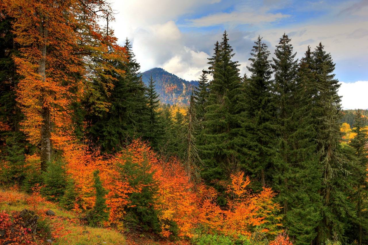
The park is known for its exceptionally well-preserved forest ecosystems, stretching across diverse climatic and ecological zones. Trekking routes pass through dense beech and conifer forests, open alpine meadows, and high mountain ridges, offering constantly changing scenery throughout the journey.
Its rich biodiversity includes rare plant species and a wide variety of wildlife, making the area valuable both for conservation and eco-tourism. The combination of untouched nature, panoramic landscapes, and remote mountain atmosphere creates a true wilderness trekking experience.
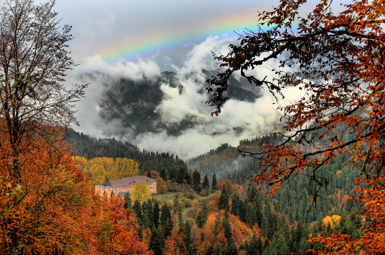
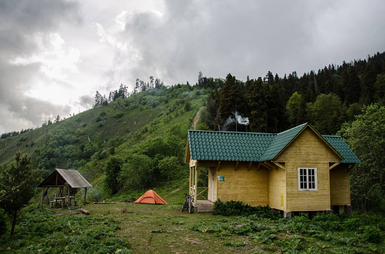
A well-developed network of marked trails allows for both single-day and multi-day hiking routes. Along the trails, hikers will find designated shelters, camping areas, and picnic spots, ensuring safe and organized overnight stays in the mountains.
The trekking season runs from May to the end of October, when weather conditions are most stable, and trails are fully accessible. This 8-day route covers approximately 76 km, combining forest trekking, alpine ascents, and cultural return through Georgia’s most important historical landmarks.

Upon your arrival at Tbilisi International Airport, our representative will warmly welcome you and transfer you to your hotel in Tbilisi. After check-in, you will have time to relax, recover from your flight, and prepare for the unforgettable adventure ahead.
DETAILS:
Driving - 18 km (25 min)
Accommodation - 3* hotel
After breakfast, you will meet your guide and trekking support team. A detailed equipment check will be carried out before departure to ensure readiness for multi-day trekking in mountainous terrain.
The group departs towards the spa town of Borjomi, located at the gateway to the national park. Upon arrival, you will complete registration at the park administration office, which is required for entry into protected zones.
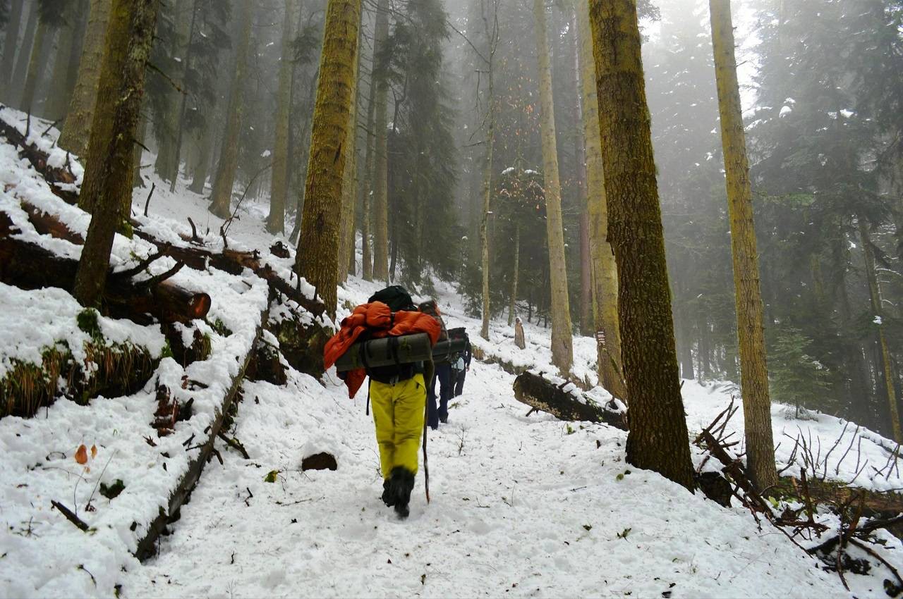
The trek begins from the Likani ranger station, entering dense forest trails that gradually ascend towards Lomi Mountain. The route offers shaded woodland sections, open viewpoints, and a steady uphill climb. Lunch will be provided en route in a scenic rest area.
Arrival at Lomi Mountain shelter in the evening. Dinner and overnight in a tourist shelter or tent.
DETAILS:
Trekking – 15 km (5–6 h)
Driving – 130 km (2 h)
Elevation gain – 870 m
Elevation loss – 0 m
Difficulty – moderate
Accommodation – tourist shelter/tents
Today’s route follows a spectacular ridge trail with continuous panoramic views over forests, valleys, and surrounding mountain ranges. The path alternates between gentle ascents and descents, offering a more varied trekking profile compared to the previous day.
Lunch will be served en route in a designated scenic area. In the afternoon, the trail gradually descends towards Sakhvlari shelter, located in a quieter alpine zone surrounded by open landscapes.
Dinner and overnight in a tourist shelter or tent.
DETAILS:
Trekking – 18 km (6–7 h)
Elevation gain – ↑ 400 m
Elevation loss – ↓1200 m
Difficulty – moderate to hard
Accommodation – tourist shelter/tents
After breakfast, the trek continues deeper into the high mountain zone of Borjomi-Kharagauli National Park.
Today you ascend towards Sametskhvareo peak (2642 m), the highest point of the park. The trail crosses alpine meadows, subalpine vegetation zones, and wide open ridgelines with dramatic panoramic views. This is one of the most scenic and physically demanding sections of the trek.
Lunch will be en route. Arrival at the shelter in the late afternoon. Dinner and overnight in shelter or tent.
DETAILS:
Trekking – 19 km (7–8 h)
Driving – 25 km (1–1.5 h)
Elevation gain – 1600 m
Elevation loss – 0 m
Difficulty – hard
Accommodation – tourist shelter/tents
The trail gradually descends from high alpine zones into forested mountain slopes. Today’s hike is more relaxed, allowing time to enjoy diverse landscapes and changing vegetation zones. The route passes through quiet valleys and open clearings with occasional viewpoints.
Lunch will be en route. Arrival at Amarati shelter in the afternoon. Dinner and overnight in shelter or tent.
DETAILS:
Trekking – 9 km (3-4 h)
Elevation gain – ↑ 0 m
Elevation loss – ↓ 700 m
Difficulty – easy to moderate
Accommodation – tourist shelter/tents
Today’s route continues through forest trails and descending mountain terrain. The landscape becomes progressively greener and more humid as you approach lower elevations. The path is peaceful, with fewer steep sections and a more gradual descent.
Lunch will be en route. Arrival at Atskuri shelter in the afternoon. Dinner and overnight in a tourist shelter.
DETAILS:
Trekking – 16 km (6-7 h)
Elevation gain – ↑ 0 m
Elevation loss – ↓ 900 m
Difficulty – moderate
Accommodation – tourist shelter/tents
After breakfast, departure from the trekking area and return to Tbilisi.
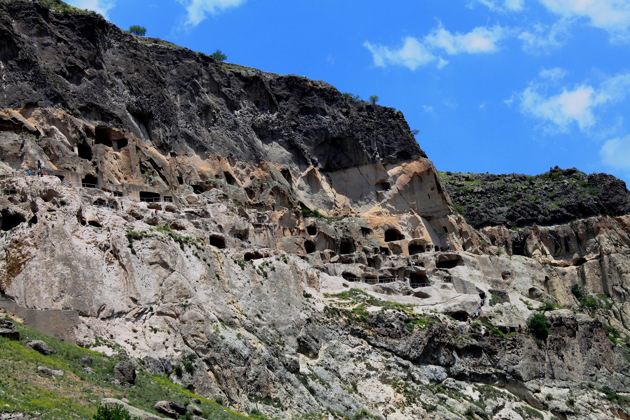
On the way, you will visit the ancient rock-hewn city of Uplistsikhe, followed by a stop in Mtskheta, the former capital of Georgia and a UNESCO World Heritage Site.
Lunch and wine tasting are included along the route. Arrival in Tbilisi in the evening. Dinner and overnight in the hotel.
DETAILS:
Driving – 130 km (2 h)
Accommodation – 3* hotel
After breakfast, you will enjoy an Old Tbilisi walking tour. During the walk, you will explore the main highlights of Georgia’s capital, including historic streets, sulfur baths, and other key attractions of the Old Town.
After the tour, you will have lunch and free time to continue exploring the city or relax at your own pace.
In the evening, you will enjoy a farewell dinner at a traditional Georgian restaurant.
Later, we will provide a transfer to the airport, marking the end of your journey.
DETAILS:
Walking - 4 km (2-3 h)
Driving - 18 km (25 m)
Other Activities
Season Other Activities Description